11 Mar 2006: Cross Country to Sullivan County.
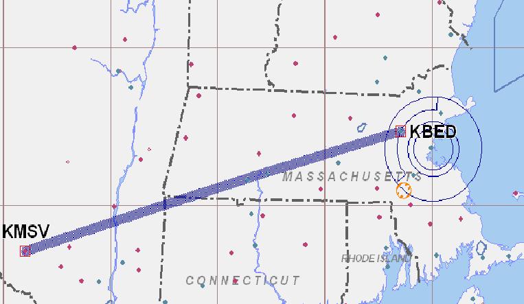 The weather today started out pretty lousy for my anticipated cross country flight to Burlington, Vermont. The ceilings were forlast broken to overcast at 3,000 feet opening up later in the morning to 4,500 broken with an AIRMET for moderate turbulance and mountain obscuration over the entire route of flight. The terrain rises to 4,000 feet in some places so my next thought was to file IFR. However, the temperatures were running 0 to -4 degrees C in places so icing was a distinct possibility. A Change of strategy was definitely needed so I called my dad in Liberty, New York and decided to head over there and pick up some seed potatoes he promised me. So we departed about 0815 hours from a pretty bust Hanscom field. Turbulence was horrible and we were held to 4,500 feet by an overcast layer. Josh started pulling together the paperwork to file IFR in the air when we say an opportunity to climb through a hole in the clouds above the layer. Up we went, eventually leveling off at 8,500 feet for a much smoother ride.
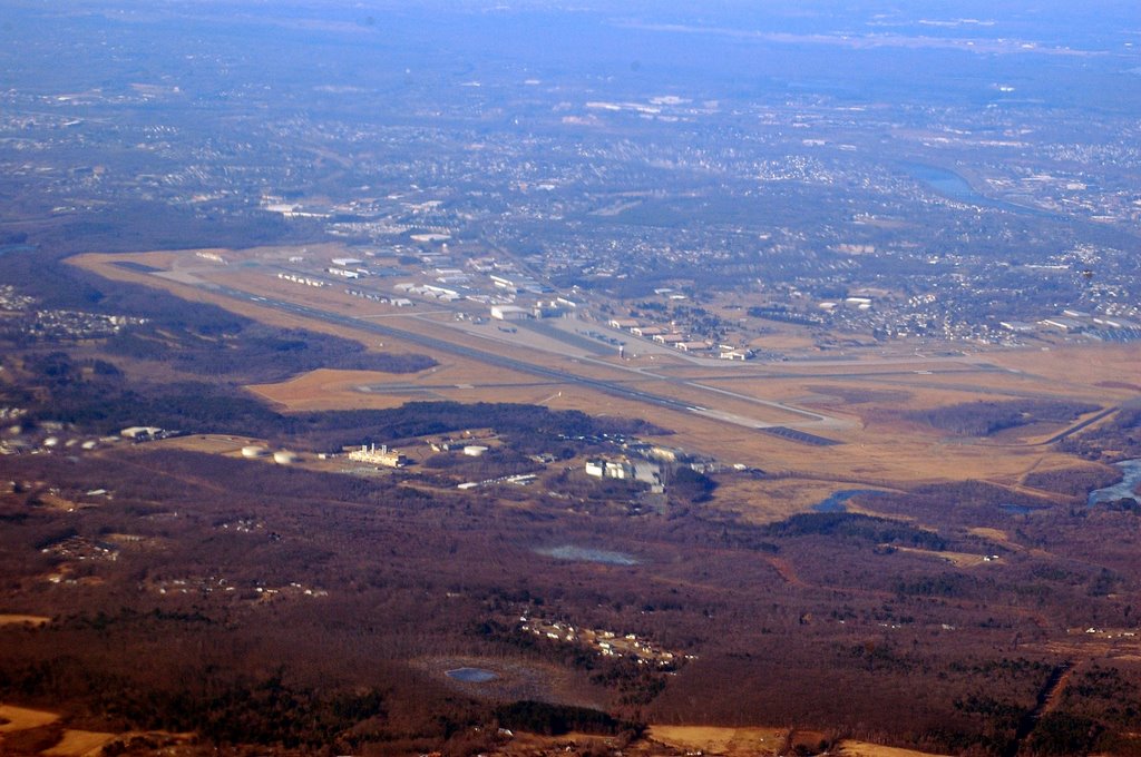 We headed southwest over Quabin reservoir and directly over Westover Air force base in Chicopee, MA. Just down the Connecticut rever valley you could see the city of Sprinfield and beyond it, Bradley Airport in Connectict.
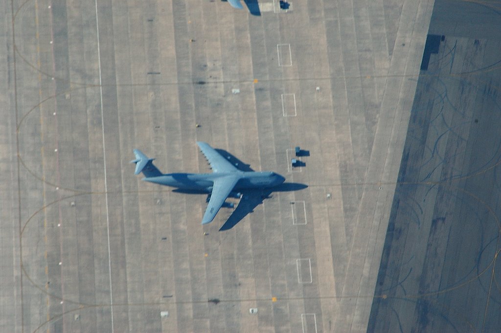
 The base used to house one of the Q areas the government used to house nuclear weapons for the bomb wing stationed there. That part of the base has long been deactivated.
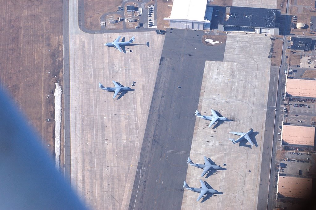
Today it is the home of the 439th Airlift Wing who transport anything all over the globe. A gaggle of C5 Galaxy's were on the tarmac and I took the opportunity to get a telephoto shot of one of these monsters.
 It's hard to gauge their size without some reference, but the Wright brother's original flight could have taken place inside of a C5.
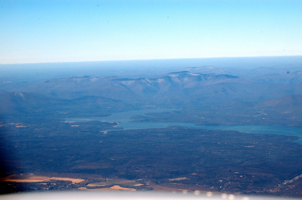
 The winds were pretty stiff from the west at about 40 knots so our grounspeed was pretty slow. After about an hour we were approaching Great Barrington, MA. To the west you could finally make out the Catskill Mountains and Hudson River in New York. In this photo, the Hudson is the near body of water and the Bridge is the Rhinecliff bridge between Rhinebeck and Kingston, NY. Beyond the river and Kingston is Ashokan Reservoir which supplied drinking water to New York City.
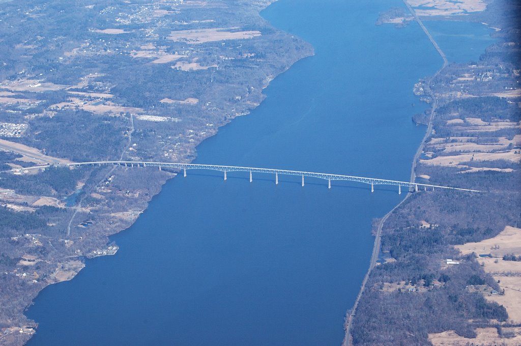 We crossed the Hudson river just south of the Rhinecliff bridge. This is a very high span which allows large tankers and container ships to move up the river as far north as Albany. On the west sdie of the bridge is Kingston-Ulster airport whose runway practically runs into the bridge roadway.
 After crossing the river, we started the descent to Sullivan County International Airport. The view of Ashokan Reservoir and the CAtskill Preserve were great. It was a seprize to see open water on the reservior, it's normally frozen over this time of year.
I overflew the airport at 3,500 feet, turned and decended to 2,400 while entering the left downwing for runway 33. The landing was uneventful and we taxied to the ramp and shut down. Dad was there with his bag of potatoes, mission accomplished. We hung around long enough to grab some toast and coffee at the restaurant in the terminal building and then headed back. The cruise back at 7,500 feet showed us with a 145 knot grounspeed and we were back at Bedford in a little over an hour.
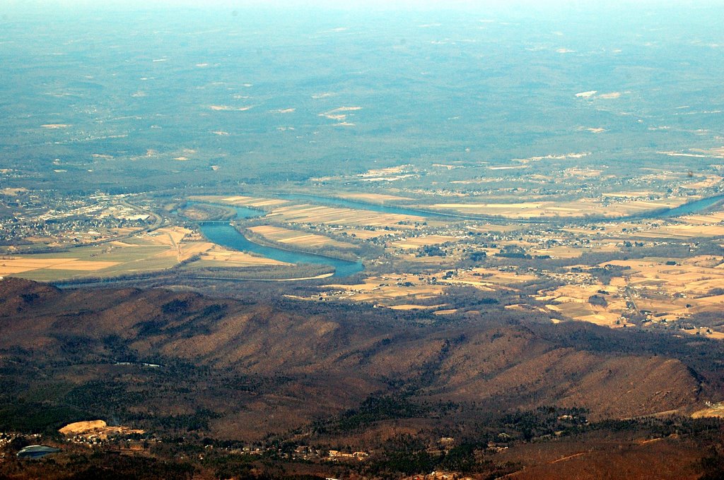
 The views were really great today and I snapped a photo of the Connecticut river valley just north of Springfield. Besides the early turblence and a broken EGT gauge, it was a great flight.
posted by Robert at 1:35 PM
![]()

0 Comments:
Post a Comment
<< Home